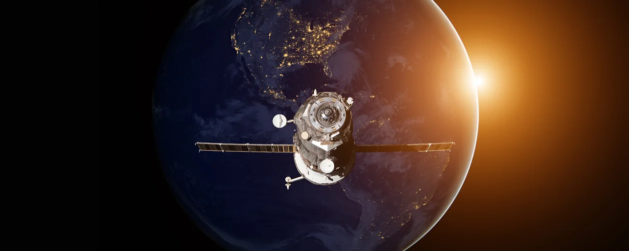
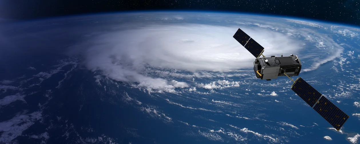
At OrbitalMapperAI, we go beyond just gathering satellite data—we transform it into actionable insights that drive real-world impact. By leveraging advanced AI and geospatial intelligence, we empower industries with solutions for climate monitoring, urban planning, precision agriculture, and more. Whether it’s optimizing land use, tracking environmental changes, or predicting weather patterns, OrbitalMapperAI turns space-driven intelligence into sustainable solutions for Earth.
Check out the activities you can do with OrbitalMapperAI for Earth’s progression and sustainability:
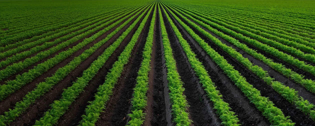
Identify stress caused by pests, diseases, or drought.
Analyze farmland distribution and optimize resource allocation.

Measure levels of pollutants and greenhouse gases.
Track industrial emissions and urban waste impacts.
Track growth patterns and prevent urban sprawl.
Utilize geospatial data for efficient transportation and energy systems.

Measure and analyze emissions over time.
Study changes in temperature, precipitation, and wind patterns.
Predict and map flood zones to safeguard communities and provide real-time data on the extent of disaster impacts.
Detect natural calamities and use geospatial data to chart the safest evacuation routes.

Founder at ACW Group of Companies
A pioneering entrepreneur and AI strategist, Arvind holds over 35 years of expertise in Hotel Industry, Artificial Intelligence and IT-driven innovations.
Read More
Cheif Executive Officer
A Cheif Executive Officer and visionary behind ConfidentoAI & OrbitalMapperAI, driving innovation at the intersection of artificial intelligence.
Read More
Chief Strategy Officer
A visionary Chief Strategy Officer with strong expertise in business planning, growth strategy, and organizational development.
Read More
Chief Operating Officer
Aravind is a distinguished IT professional with over a decade of experience in the software development industry. As a visionary engineer and strategic leader.
Read More
Agricultural Biotechnologist
An accomplished agricultural biotechnologist, currently contributing his expertise at ACW Inc. Holding a degree in Agriculture Biotechnology
Read More
All rights reserved , Orbitalmapperai.
Owned
and managed by
Aries Connects
World Inc.